Website is under construction
National Institute of Oceanography and Atmospheric Science

Marine Operations Equipment & Capabilities

Specialized infrastructure for field measurements, sampling, and research operations across marine, coastal, terrestrial, and atmospheric environments

Explore equipment
Introduction

Field measurements; the foundation of reliable data

Scientific research and activities in countries bordering the seas require a detailed understanding of marine and oceanic environments. The National Institute of Oceanography and Atmospheric Science focuses on the Caspian Sea, Persian Gulf and Gulf of Oman, as well as the Indian Ocean, to advance scientific knowledge and generate standardized, reliable data.

Field measurements are among the most important tools in this process. They provide the scientific community and marine industries with essential data and enable a more detailed analysis and understanding of marine, coastal, and atmospheric environments.

The Marine Operations Unit, supported by experienced specialists and equipped with advanced oceanographic instruments and equipment, conducts measurement and field operations at both national and regional levels.

Specialized field operations

Conducting oceanographic surveys, measurements, and sampling operations in marine, terrestrial, and atmospheric environments using specialized equipment and standardized methods.

Activities

Marine operations; from oceanographic surveys to sampling

The Marine Operations Unit began its independent activities in 1394 and is responsible for conducting marine surveys, measurements, and field operations across a wide range of marine science disciplines.

Oceanographic surveys

Planning, managing, and conducting research surveys and field operations in marine environments.

Marine measurements

Measuring physical and environmental water parameters, currents, waves, tides, and other oceanographic variables.

Sampling operations

Water, sediment, and plankton sampling at different depths and under diverse environmental conditions.

Atmospheric measurements

Collecting and recording meteorological parameters required for marine and environmental studies.

Coastal and terrestrial operations

Land surveying, sediment sampling, and other field operations in coastal and terrestrial environments.

Specialized subsurface operations

Sub-bottom profiling and the use of specialized systems for subsurface marine studies.

Capabilities

A comprehensive range of specialized capabilities

The capabilities of the Marine Operations Unit extend beyond access to specialized equipment. They combine technical services, operational expertise, field experience, and technical support.

Planning, management, and execution of oceanographic surveys
Consultation and training on advanced oceanographic equipment
Organization of specialized workshops and training courses
Calibration of measurement instrument sensors
Repair and maintenance of measurement equipment
Design and fabrication of required equipment and tools
Design and deployment of mooring systems in coastal and deep waters
Installation of equipment in deep waters
Diving operations
Measurement and sampling operations based on international standards
Management and simultaneous execution of multiple projects
Analysis and processing of field data using standardized methods
Use of specialized and up-to-date software
Equipment

Measurement and sampling infrastructure

The Marine Operations Unit's specialized equipment supports a wide range of measurements, environmental monitoring activities, and sampling operations under diverse field conditions.

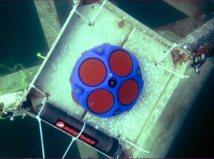
ADCP
Currents and waves

ADCP

Acoustic Doppler Current Profiler

Model Teledyne Workhorse-Sentinel
Frequency 300 kHz & 600 kHz
Application Measurement of current speed, current direction, and directional waves
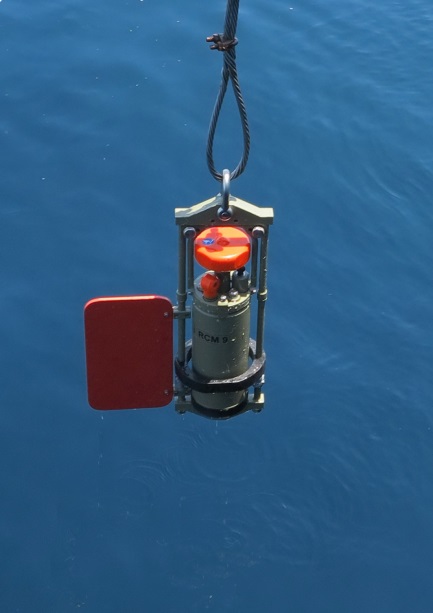
RCM9
Currents

RCM9

Recording Current Meter

Model RCM-9, MK II
Operating depth 60, 70, 350, 700, and 2000 m
Application Current measurements within a horizontal range of 0.4 to 2.2 m from the instrument
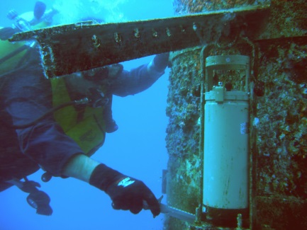
WTR9
Waves and tides

WTR9

Wave and Tide Recorder

Model WTR9
Operating depth Maximum 60 m
Application Measurement of waves, water level, and temperature in shallow waters
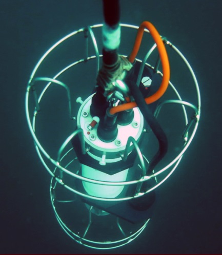
CTD
Water parameters

CTD

Conductivity, Temperature, Depth

Models Idronaut 316 (200 and 1000 m)
Idronaut 316Plus (4000 m)
Sea Sun Tech 75M (200 m)
Sensors Pressure, temperature, conductivity, dissolved oxygen, pH, turbidity, and chlorophyll-a
Derived parameters Depth, salinity, density, and sound speed
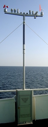
Automatic Weather Station
Meteorology

AWS 2700

Automatic Weather Station

Sensors Wind speed and direction, temperature, pressure, relative humidity, horizontal visibility, sunshine duration, and precipitation
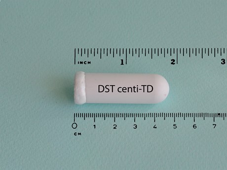
ODDI DST Centi-TD
Temperature and depth

DST Centi-TD

ODDI Sensor

Parameters Temperature, depth
Operating depth Maximum 370 m
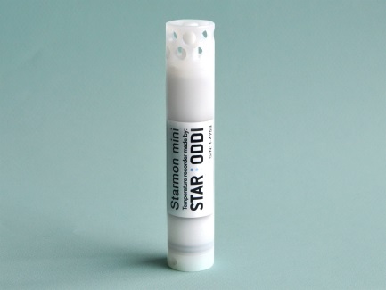
ODDI Starmon mini
Temperature

Starmon mini

ODDI Sensor

Parameter Temperature
Operating depth Maximum 370 m
Mooring system
Mooring systems

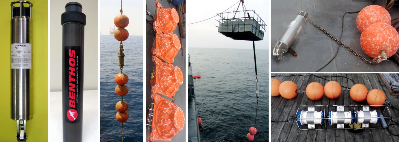
Mooring System

Deep-water mooring and instrumentation

Equipment Acoustic Release (AR 861-B2s, 6000 m)
Vitrovex Buoy (6000 m, 27 kg)
Double Viny Buoy (200 m, 42 kg)
Pinger (ALP-364/EL, 750 m)
Kevlar Rope
Operating depth Maximum 6000 m
Sub Bottom Profiler
Seabed and subsurface

Sub Bottom Profiler

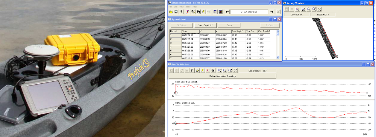
SUBPRO 1210

Manufacturer General Acoustic GmbH, Germany
Frequency 12 kHz
Penetration depth 10 m
Ground Penetrating Radar
Subsurface surveying

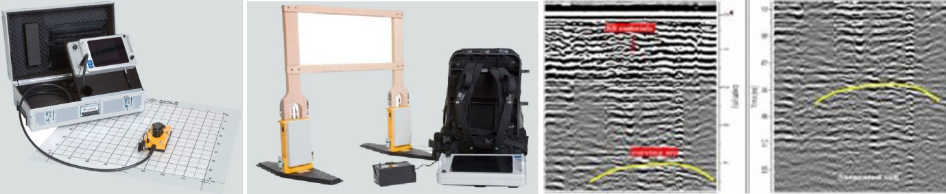
Ground Penetrating Radar

GPR ProEx

Manufacturer Mala Geoscience AB, Sweden
Model GPR ProEx
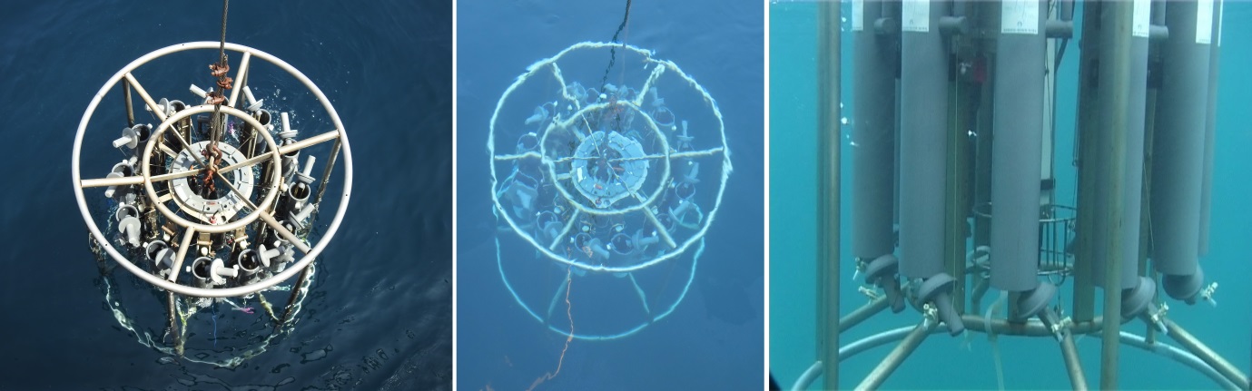
Multi Water Sampler
Water sampling

Multi Water Sampler

Rosette — MWS12

Manufacturer Hydro-Bios
Number of bottles 12
Operating depth Maximum 3000 m
Bottle capacity 1.7, 3.5, and 10 liters
Application Programmable water sampling from selected depths within the water column
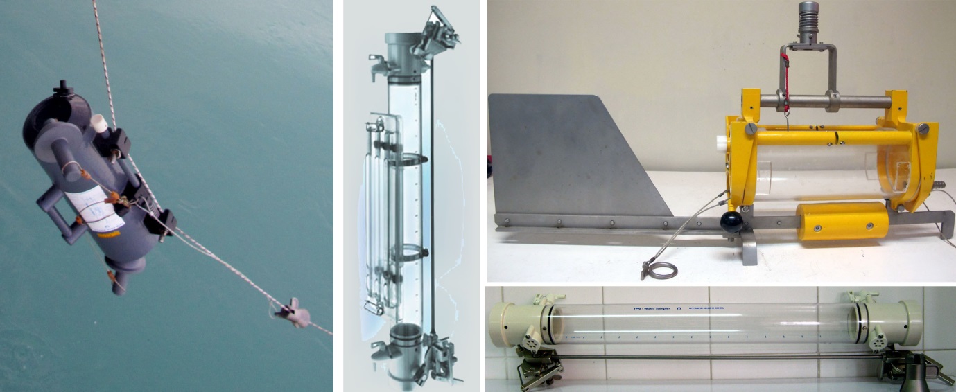
Single Water Sampler
Water sampling

Single Water Sampler

Types Nansen Sampler
Niskin Sampler
Horizontal Sampler
Manufacturer Hydro-Bios
Bottle capacity 1.7, 3.5, and 10 liters
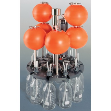
MULTI-LIMNOS
Water sampling

MULTI-LIMNOS

Automatic Water Sampler

Number of bottles 10
Capacity per bottle 1 liter
Operating depth Maximum 30 m
Capability Water sampling from selected depths at different time intervals
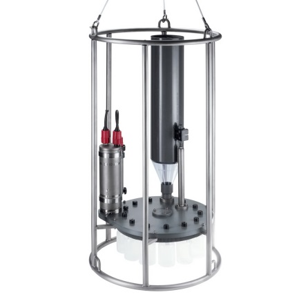
Multi Sediment Trap
Sediment sampling

Multi Sediment Trap

MST

Number of bottles 12
Bottle capacity 250 ml
Operating depth Maximum 3000 m
Capability Programmable sampling intervals ranging from 1 minute to 1500 hours for each bottle
Bottom Sediment Samplers
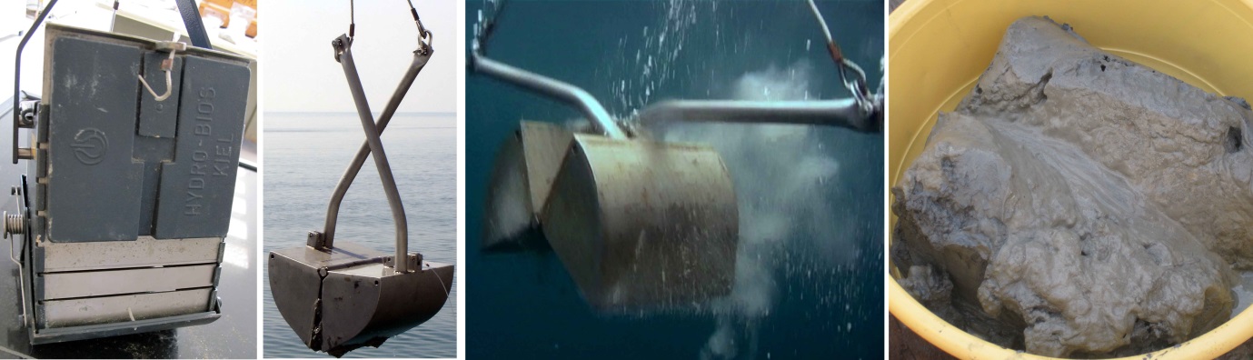
Sediment sampling

Bottom Sediment Samplers

Types Van Veen — 250 and 1000 cm² grasping area
Ekman — 400 cm² grasping area
Manufacturer Hydro-Bios
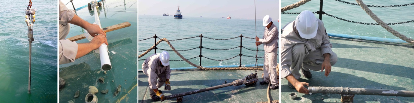
Free Fall Gravity Corer
Sediment coring

Free Fall Gravity Corer

Model 13.570

Manufacturer KC, Denmark
Core tube length 1 to 6 m
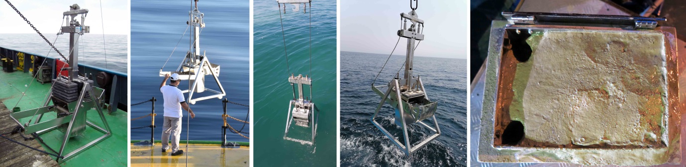
Box Corer
Sediment coring

Box Corer

Model 80.100-50

Manufacturer KC, Denmark
Sediment sampling area 1000 cm²
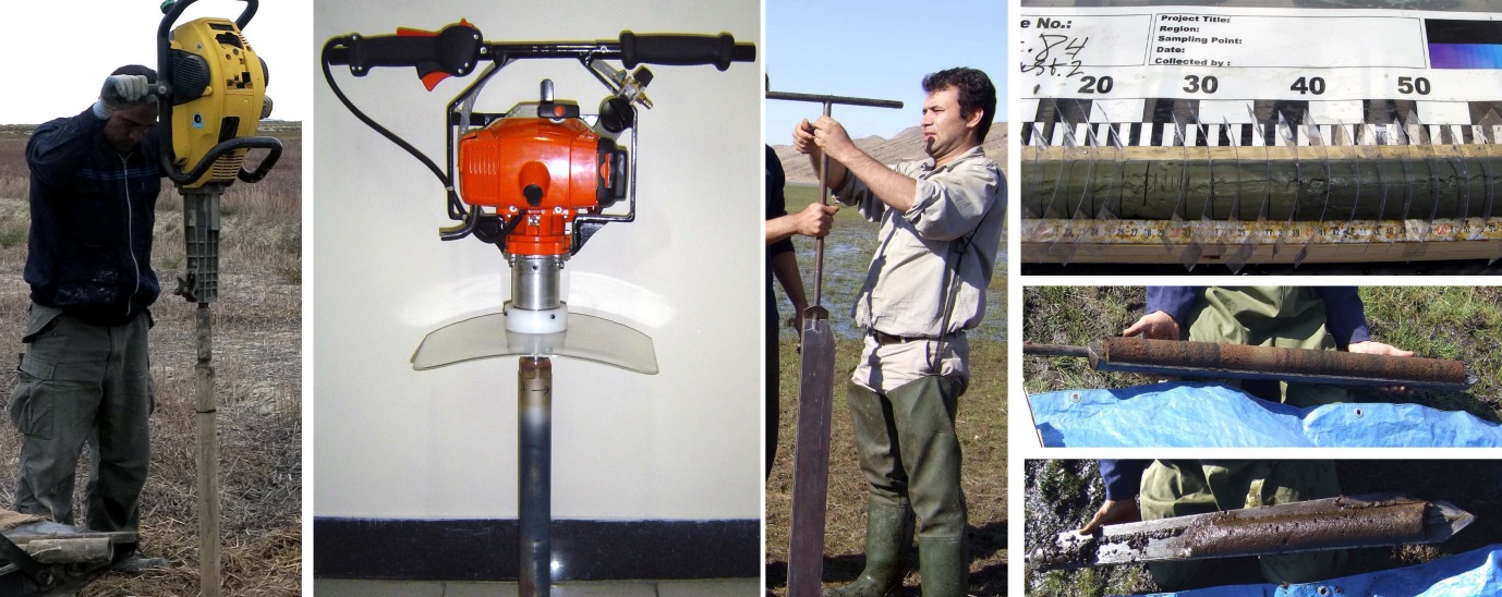
Land Corers
Terrestrial sampling

Land Corers

Equipment Viber Corer
Rock Corer
Russian Peat Corer
Core tube length 1-meter tubes that can be connected to one another
Plankton nets
Plankton sampling

Plankton Nets

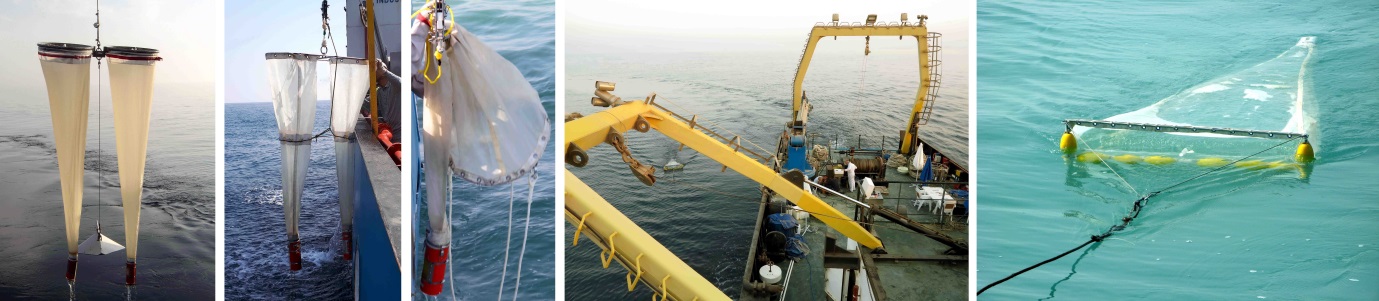
Net types Bongo Net, Closing Net, Neuston Net
Manufacturer Hydro-Bios and locally manufactured
Mesh sizes 20, 50, 100, 300, and 500 µm
Multi Plankton Net
Plankton sampling

Multi Plankton Net

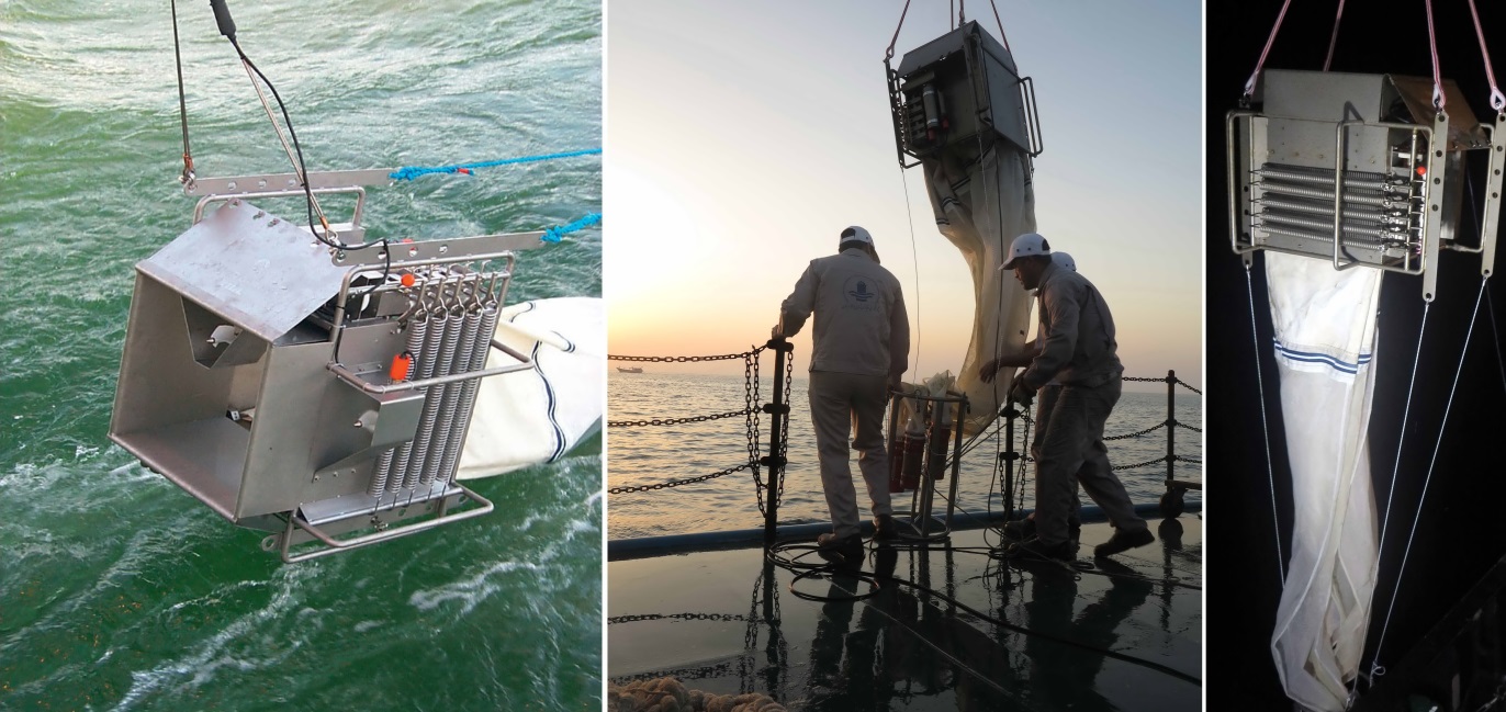
Midi

Manufacturer Hydro-Bios
Number of nets 5
Operating depth Maximum 3000 m
Hamburg Plankton Net
Plankton sampling

Hamburg Plankton Net

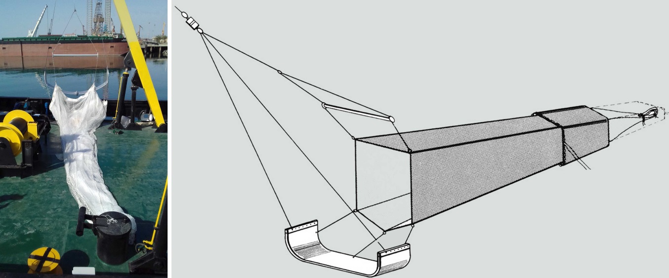
Isaac-Kidd-Midwater Trawl

Manufacturer Hydro-Bios
Net length 10 m
Mesh size 500 µm
Application Collection of large quantities of plankton
Echo Sounder
Hydrography

Echo Sounder

CeeScope 100

Manufacturer Cee Hydro System, Australia
Frequency Dual Frequency — 200 / 33 kHz
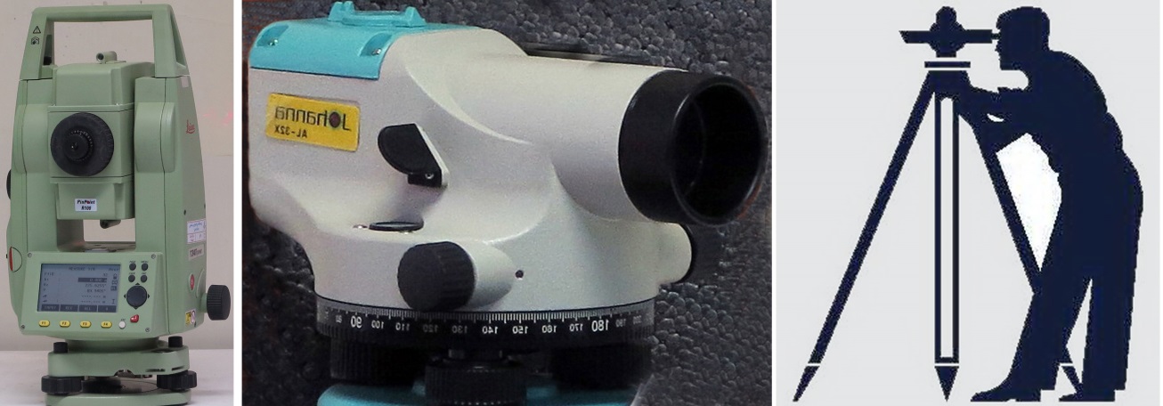
Land Surveying Equipment
Land surveying

Land Surveying Equipment

Equipment Total Station — Leica TP400
Auto Level — Johanna Al-32X
Prism, leveling staff, and tripod
Applications Surveying, reference line establishment, elevation measurement, and leveling
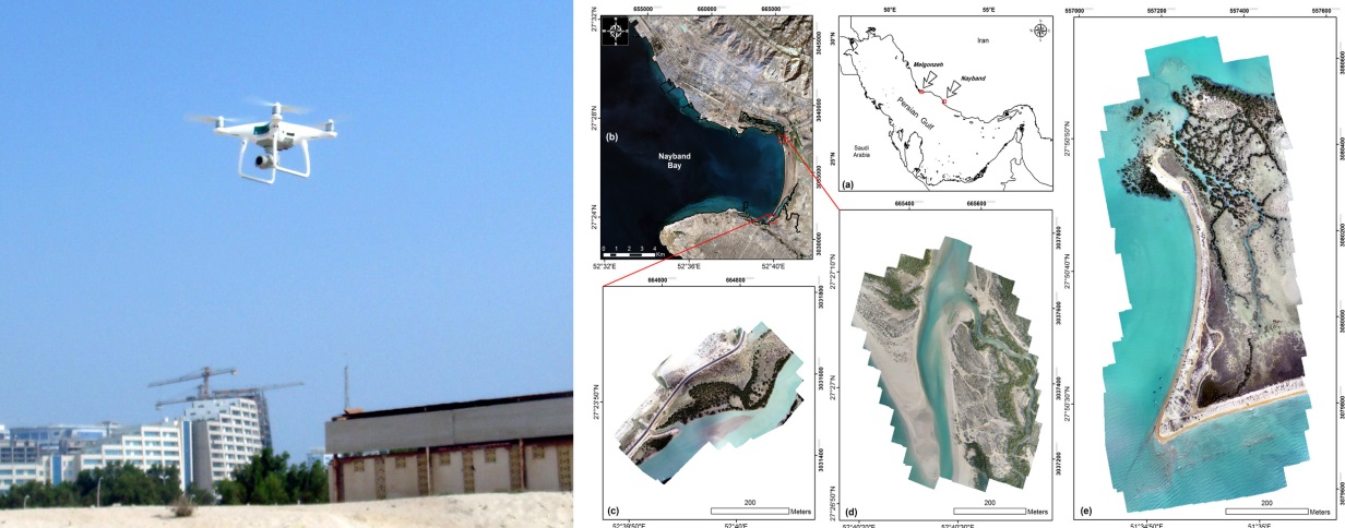
DJI Phantom 4 Pro
Aerial mapping and imaging

DJI Phantom 4 Pro

Drone

Manufacturer DJI
Camera type RGB
An integrated infrastructure

Equipment, expertise, and field operations; supporting marine data collection

The combination of specialized measurement and sampling equipment, technical expertise, and field experience enables the execution of a diverse range of research projects across marine, coastal, terrestrial, and atmospheric environments.

Last updated: 2026/09/07