Marine remote sensing training workshop is held at the research institute
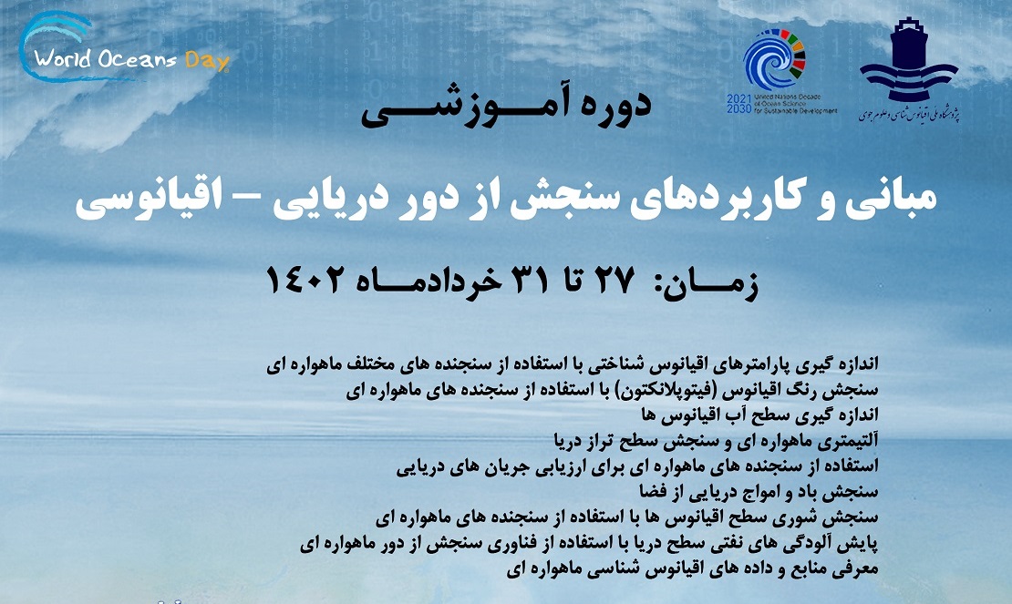
The first training course Marine remote sensing, with the aim of teaching basic skills needed to receive satellite data and analyze and understand data derived from various satellite sensors, will be held from 27 to 31 June 1402 at the National Research Institute of Oceanography and Atmospheric Sciences.
According to the research institute's public relations report, in this educational workshop presented by Dr. Masoud Moradi, the head of the Atmospheric Sciences Research Institute, the topics of biooptic principles, pigment algorithms, primary production algorithms, and to a lesser extent, the basic physical principles that lead to the measurement of sea surface temperature, ocean wind speed, and ocean topography will be analyzed and investigated.
According to Moradi, this training workshop is planned in response to the widespread needs of oceanographers who need satellite remote sensing techniques.
He added: In this course, great emphasis will be placed on the color of the ocean, sea surface temperature, wind waves, currents, and remote monitoring of coastal water quality.
This research staff member believes that satellite remote sensing techniques can be a useful tool for oceanographers who work on the biological and physical processes of oceans and seas. For easy and effective use of data sets and remote sensing products, specialized training is needed. Even those planning to embark on research programs in the marine sciences need training in ocean remote sensing methods.
