It was carried out with the focus of the research institute: Monitoring of coastal waters of Northern Europe using remote sensing technology
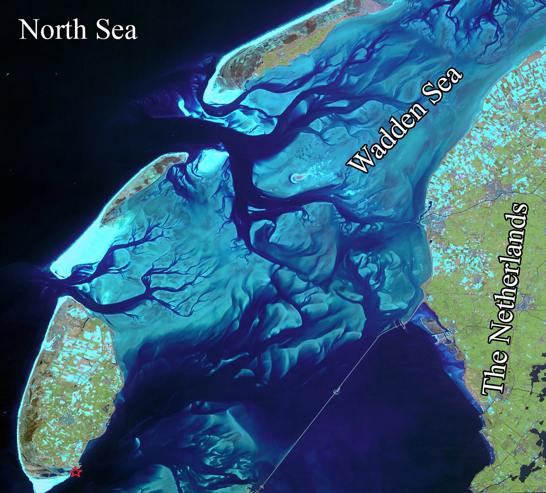
In a joint research project between the Institute of Oceanography and Atmospheric Sciences, the Royal Netherlands Institute for Marine Research and the Faculty of Biology, Chemistry and Geosciences of the University of Bayreuth, Germany, the quality of the coastal waters of the Wadden Sea (Duch Wadden Sea) was studied in North Holland using remote sensing technology.
According to the research institute's public relations report, Dr. Masoud Moradi, head of the Atmospheric Sciences Research Institute, said: In this research project, the hyperspectral data collected from the coastal waters of the region were evaluated over a period of 18 years and every 10 minutes, and then used for the calibration of satellite information.
Moradi clarified: In this research project, which was conducted in different phases including: quality control of hyperspectral data, development of water quality monitoring algorithms for coastal areas, models for extracting water quality components, determination of bio-optical characteristics of coastal waters, and finally satellite monitoring of coastal waters, quality control of collected hyperspectral water level data was carried out and the result was published in one of the prestigious international journals.ISPRS Journal of Photogrammetry and Remote Sensing(among the top 10 percent of remote sensing journals with penetration coefficient)IF) More than 10 have been printed.
He believes that measuring water surface spectra in the range of visible to infrared wavelengths is one of the new methods of monitoring water quality in coastal waters, lakes, rivers and dams. Also, the results obtained from the spectral measurements of the water level are also used to correct the satellite measurements. Since the level of reflected energy recorded by satellites from water environments is low, therefore, the use of different satellite sensors to monitor water environments is always accompanied by many errors, which makes the results obtained sometimes unusable.
A member of the scientific faculty of the research institute said about the use of hyperspectral measurements of the water level: these measurements are used to correct the errors of satellite measurements of water environments. Reflectance spectra of the water surface are performed using fixed and moving sensors installed on the floats. He added: A water level spectral measurement package consists of at least five sensors with the ability to record hyperspectral reflections of solar radiation, oblique sky radiation, and water surface reflection, the last two of which are connected pairs on the west and east sides with ninety degree angles to each other.
Moradi expressed the automatic and continuous recording of hyperspectral data of the water level and said: environmental and weather conditions have a great impact on the recorded spectra and cause sometimes low-quality or unusable spectra to be recorded. In this sense, controlling the quality of hyperspectral water level data is one of the first measures before using these data to monitor aquatic environments.
Article link: https://www.sciencedirect.com/science/article/abs/pii/S0924271624002788
Quality control tests for automated above-water hyperspectral measurements: Radiative Transfer assessment
