Conclusion of a joint cooperation agreement between the country's mapping organization and the research institute
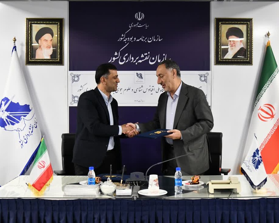
On Tuesday, May 2, 1404, a joint cooperation memorandum was signed between the National Mapping Organization and the National Research Institute of Oceanography and Atmospheric Sciences, in the Hall of Martyrs of the Country Mapping Organization.
According to the public relations report of the research center and quoted by the country mapping organization, at the beginning of this ceremony, Dr. Seyed Iskandar Sidaei, the head of the country mapping organization, while welcoming, stated that this memorandum is a platform for the parties to synchronize in line with the national interests and will draw a new horizon for future cooperation. Synergy and promotion of effectiveness at the national and international levels have been mentioned
In this ceremony, Dr. Morteza Tavakoli, head of the National Research Institute of Oceanography and Atmospheric Sciences, also pointed out that this research institute is a subsidiary of the Ministry of Science, Research and Technology and is active in the field of scientific research. We hope that this memorandum will be the beginning for the implementation of bigger and more effective projects and the ground for the presence and participation of the private sector will be created."
Also, engineer Seidin Borojni, vice president of technology and provision of spatial information, referring to one of the main tasks of this organization in the field of quality control and data verification and the existence of the national archive of spatial information, stated that the capacities in the organization can provide a suitable platform for scientific and technical cooperation between the two groups.
This memorandum will lay the groundwork for the implementation of joint projects in specialized fields and to improve the level of scientific interactions between the country's mapping organization and the National Research Institute of Oceanography and Atmospheric Sciences.
Its contents are in the form of two original versions and in 17 articles with axes such as cooperation in setting up additional maritime education courses, cooperation in order to develop the country's maritime spatial data infrastructure.MSDI) and other fields of joint cooperation were signed in line with the development of scientific, research and executive cooperation between the two groups.
 |