

Theamatic Maps
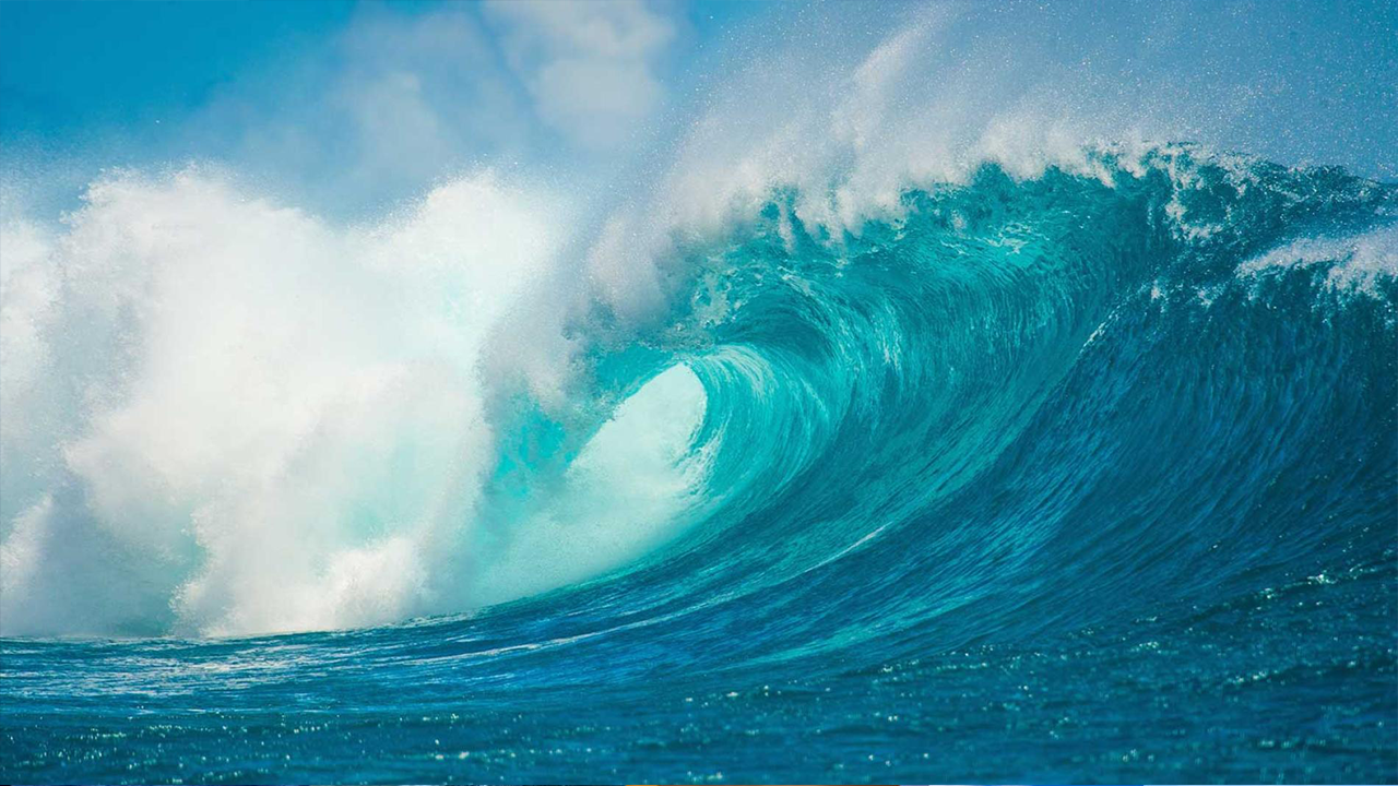
Ocean and Seas
Specialized ocean satellites around the earth are collecting data daily. After processing, this information is provided to users in the form of data sets and different thematic maps. All processes are performed based on valid algorithms and by professional experts, and the final products are published after validation and quality control. Maps prepared from different oceanic parameters and different color images are prepared and provided to users on a daily basis. Historical data are available in the satellite activity range, which are available through the GIS system. Composite images and maps of the marine environment can lead to our better understanding of oceanic processes and enable the analysis of relevant processes.


Atmosphere
Atmospheric data collection focuses on the data and information available in the stratosphere and troposphere layers and are presented as maps at different altitudes. The surface of this continent is covered with large ice sheets and rocky outcrops rarely protrude. The most important source of information on this continent are satellite images that capture different subjects and are classified by experts in different subject groups and made available to users. Thematic maps and information are prepared in different scientific groups and updated daily. The maps and information provided are obtained from reliable scientific centers and provided to users.
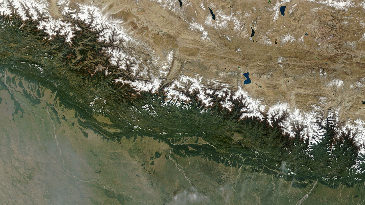
Earth Surface
Earth surface information and maps service is a part of information extracted from numerical and thematic models and satellite satellite images that provide users with various information about the surface of the earth. A list of thematic maps and classified information available from different international centers is included in this collection and users can access the current and historical information and maps through the GIS system.

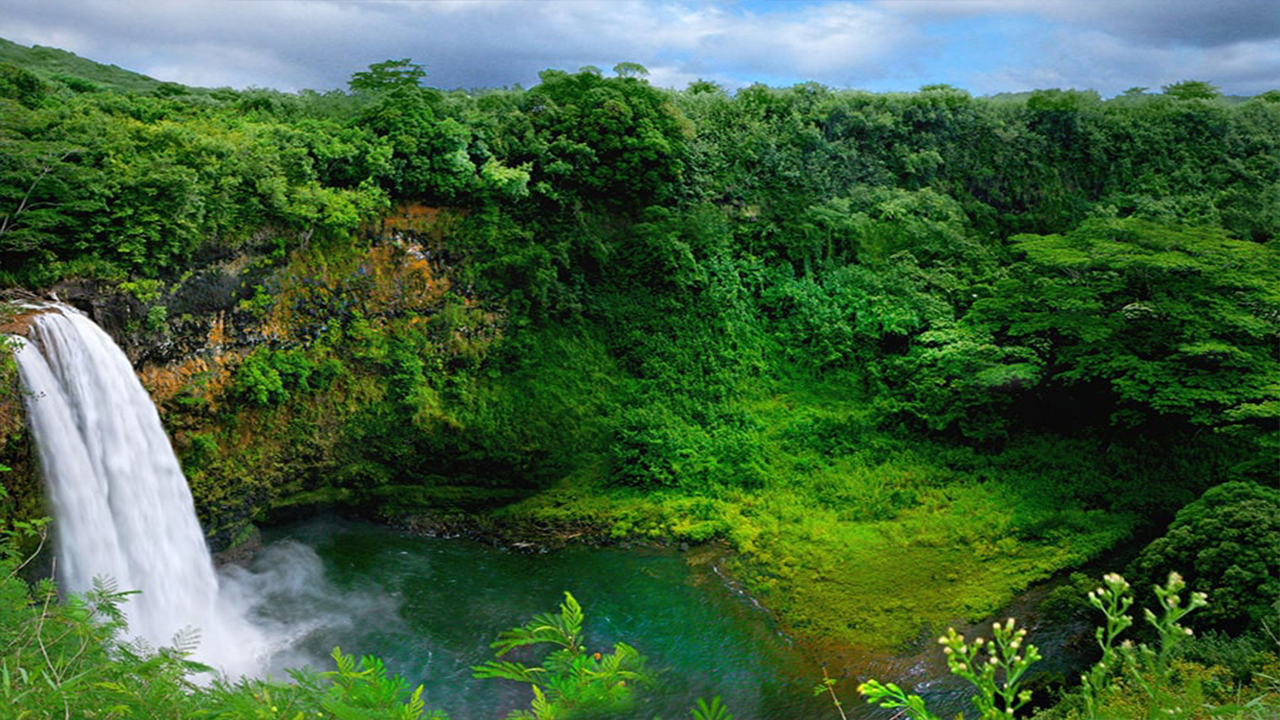
Hydrosphere (Inland)
The data set in this section includes all the information extracted from satellite images and modeling for the study of water resources and the problems related to them. The collection of information and maps are only available for water resources on the continents. The data and information presented in this section are taken from NASA's Earth observation data and information system and are updated daily.
Biosphere
Biosphere datasets are updated on-line and daily and have been obtained using satellite information and study models and using the latest study algorithms. The data and information presented in this section are taken from NASA's Earth observation data and information system and are updated daily.
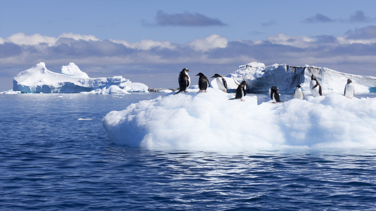
Antarctica
Antarctica is a continent larger than Australia, which is a relatively unknown continent due to its special climatic conditions. This continent is surrounded by raging and stormy waters and big storms, and in this sense, its study and investigation has always faced major problems and issues. The surface of this continent is covered with large ice sheets and rocky outcrops rarely protrude. The most important source of information on this continent are satellite images that capture different subjects and are classified by experts in different subject groups and made available to users. Thematic maps and information are prepared in different scientific groups and updated daily. Maps and information provided are obtained from reliable scientific centers and provided to users.