Events
Application of GIS for Atmospheric Science
4-8 January 2025
Geographic Information Systems (GIS) play a pivotal role in atmospheric science, providing powerful tools for the collection, management, analysis, and visualization of spatial and temporal data related to the Earth's atmosphere. As we face increasing challenges due to climate change, air pollution, and...
Advances in application of GIS for Marine Science
7-11 December 2024
Geographic Information Systems (GIS) have become an indispensable tool in marine science, providing a powerful platform for the management, analysis, and visualization of spatial data related to the oceans and coastal areas. The vast and dynamic nature of marine environments presents unique challenges...
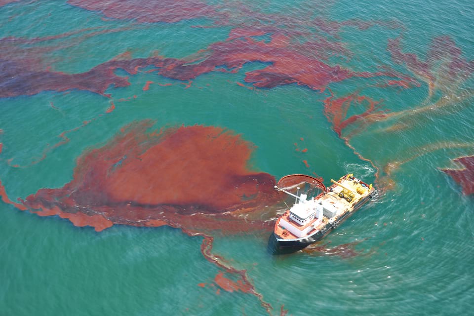
Remote Sensing of Oil Spill
10-12 November 2024
30 September 2024
The 1st INIOAS Training Course on Ocean Remote Sensing, 2023
17 - 21 Jun 2023
Satellite remote sensing techniques benefit oceanographers working on biological and physical processes of the oceans and seas. Specialized training is needed to easily and effectively use remotely sensed data sets and products. Even people who intend to begin research careers specifically inte...


